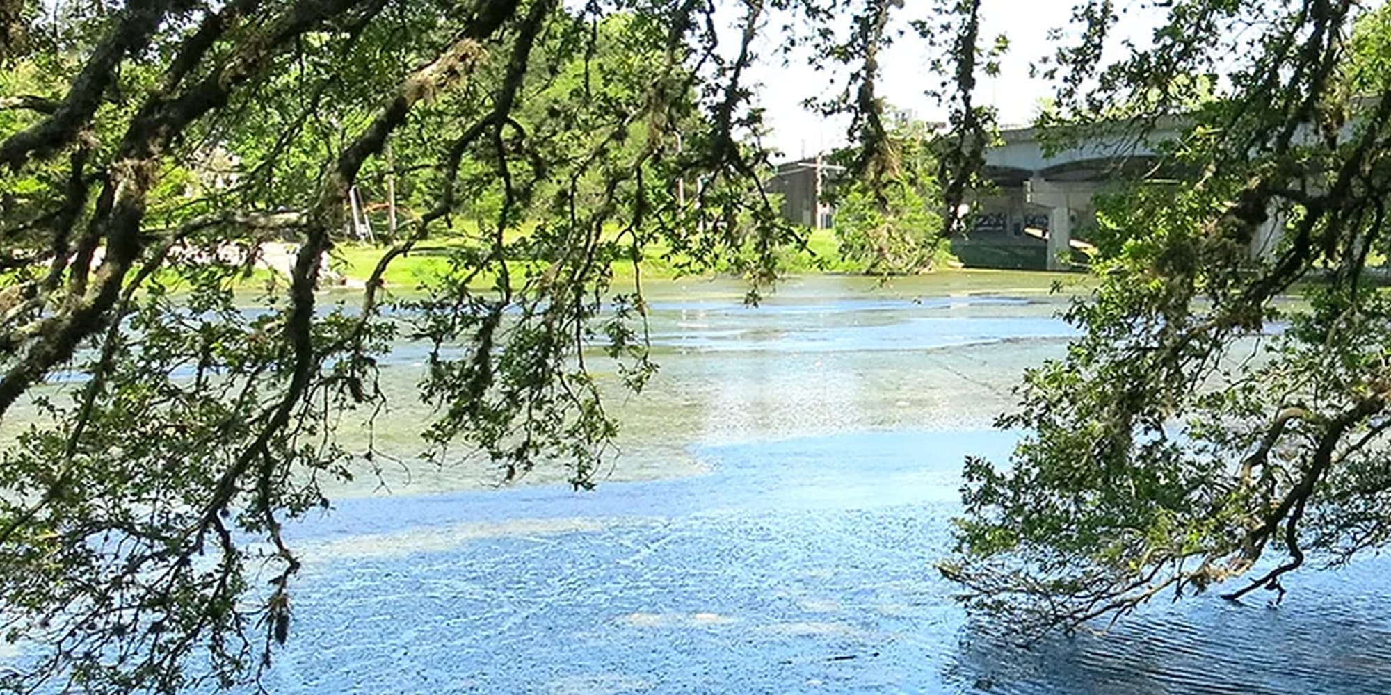
Transforming University Lakes: Major Progress and Future Plans After One Year

BATON ROUGE - Heavy machinery has been laboring for months to excavate dirt and sediment from the University Lake System. With the project entering its second year, two lakes are nearing completion, and the barges are set to move into University Lake. However, the initiative has not been without its critics.
LSU Foundation President Rob Stuart has been fielding numerous questions and concerns from the public. "A frequent comment we hear is, 'I love what you're doing, but why build the islands? Why make the bird sanctuary so large?'" Stuart said.
The creation of islands and a larger bird sanctuary has been essential to the project. Removing the excavated dirt from the site would be nearly three times as expensive as repurposing it. Hence, the islands and expanded bird sanctuary serve as practical solutions for sediment placement, resulting in noticeable changes to the shoreline.
One of the more controversial elements is an island near Stanford Avenue, built at 20.5 feet above sea level. Recently, the island was flooded, necessitating the construction of a dirt berm and the installation of a pump to remove water. Two trees that died in the process have been replaced under warranty. Project Manager Mark Goodson explained that the lake's water level is currently several inches above normal.
At the corner of Stanford Avenue and West Lakeshore Drive, a new weir has been constructed with three gates to control the water level. These gates can be lowered during heavy rainfall to reduce the lake's water level, while a sandbagged notch maintains water flow into Bayou Duplantier.
The next phase involves extensive dredging of University Lake. This includes the expansion of the bird sanctuary, the construction of outer banks, and the formation of islands using large geo tubes filled with sediment. Over time, these tubes will disintegrate and be covered with low-lying plants.
A significant increase in vegetation around the lakes has been observed following last year's drought, which exposed the lake bottom. This vegetation will be removed as part of landscaping efforts scheduled for late 2024 and early 2025. "They'll be landscaped with native, low-growing materials meant to filter runoff before it enters the lakes," Goodson said.
At its deepest points, the lakes will reach nine feet, with edges approximately four and a half feet deep. University Lake near Stanford at East Lakeshore Drive will be the deepest to facilitate drainage and stormwater runoff. "To manage sediment, we're creating four bays that are dug deeper than the rest of the lake," Stuart said. These bays will be periodically cleaned.
Trees and branches removed from the lakes are being repurposed into mulch or set aside for auction. A public auction is planned for August, and May Street will be replaced with a bridge to connect the two lakes, enhancing boating access.
The project is funded for dredging and landscaping, assuming FEMA money is allocated. The next steps include bike paths and other designs. "We'll likely need more local funding and support from interested parties," Stuart said.
Additionally, logs left behind, particularly in Lake Erie, will be removed.
The project continues to evolve, balancing practical solutions with community feedback and environmental considerations.


